How to plan a trip to Patagonia: Chile, Argentina and the wind
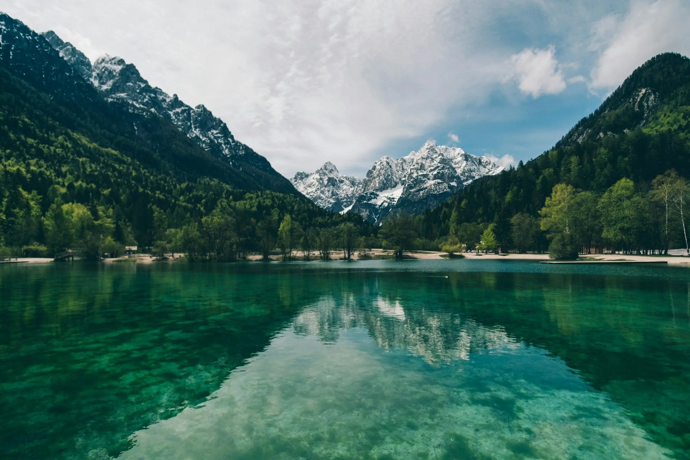
To plan a trip to Patagonia, decide which side you are visiting, choose the austral summer unless you want solitude, and book anything inside the national parks as early as you can. Patagonia is shared by Chile and Argentina, the distances are huge, and the weather decides more of your trip than your itinerary does.
What Patagonia is, and what it is not
Patagonia is a region, not a country, at the southern end of South America. It covers a vast area of mountains, glaciers, lakes, steppe and coast, split between Chile to the west and Argentina to the east. Most visitors pick a few highlights and travel between them by bus, car or plane, because the places are far apart and the roads are long.
A few of the best known:
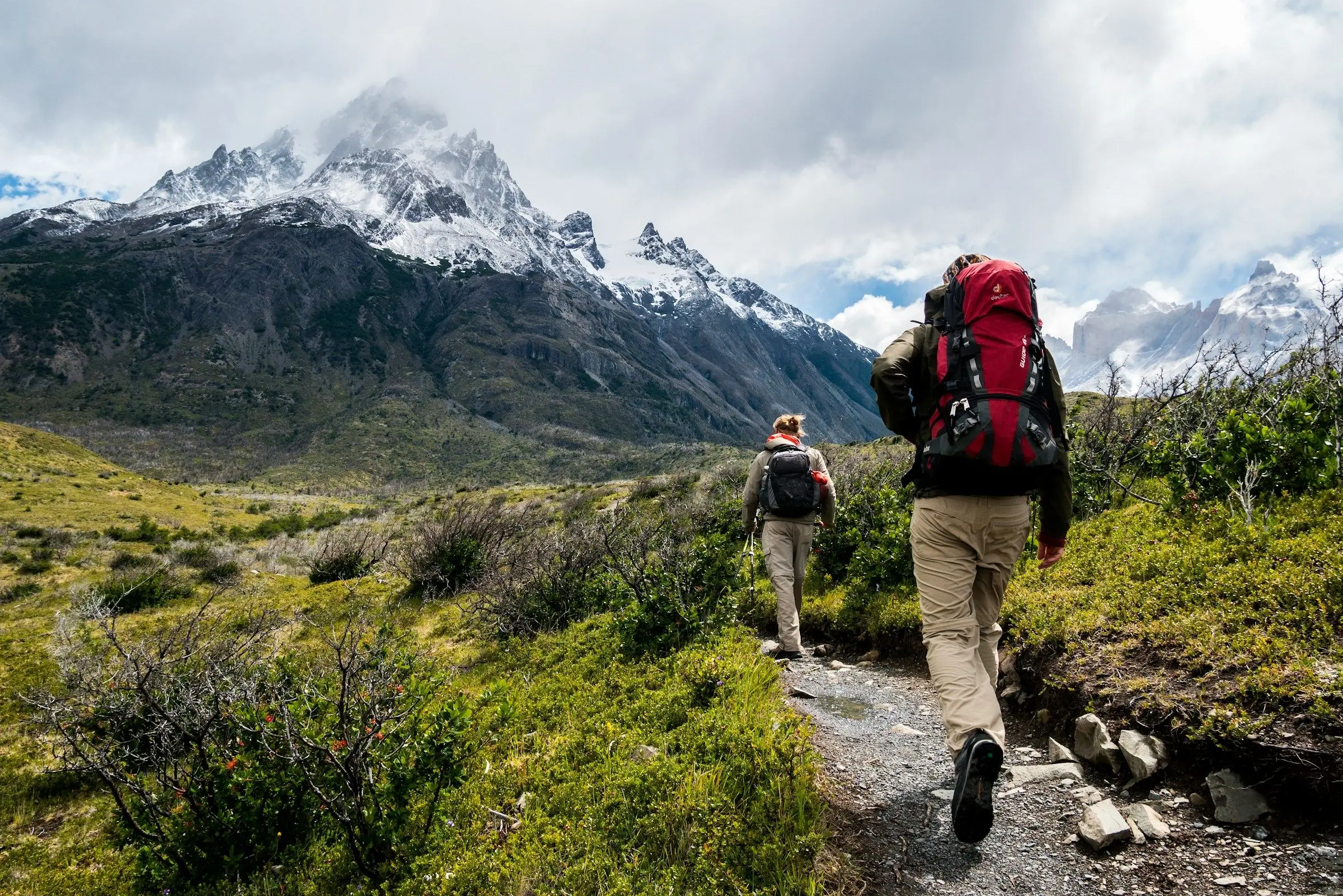
- Torres del Paine, in Chilean Patagonia. Granite towers, lakes and long trekking routes, including the famous multi-day circuits.
- El Chaltén and El Calafate, in Argentina. Both sit by Los Glaciares National Park: El Chaltén is the base for day hikes under the Fitz Roy range, and El Calafate is the town for the Perito Moreno glacier.
- Ushuaia and Tierra del Fuego. The far south, with boats on the Beagle Channel.
- The Lake District. Gentler lakes, forests and volcano views, further north.
Read the Argentina travel guide if you are including that side.
Choose your season
Patagonia sits in the southern hemisphere, so the seasons are the opposite of Europe and North America. The warmer months, roughly from late spring to early autumn there, bring the longest days, open trails and open services. They are also the busiest. In the shoulder months, there are fewer people and cooler weather, and some lodges and boats are closed. In winter, most trekking infrastructure shuts and many roads become difficult.
Whatever the month, the wind is a constant. It can be strong enough to knock you off balance and to cancel a boat or a trail. Treat every plan as a draft, and build in at least one spare day for weather.
Choose a shape for the trip
The size of the region catches people out. A day that looks short on a map can mean a long bus ride, a border crossing and a ferry. Choose one of these shapes:
- One park, done well. Four to five days in one area, with a day or two for each hike.
- A two-base trip. Torres del Paine on one side and El Chaltén on the other, with a long bus day between them and possibly an overnight stop.
- A long journey. Two to three weeks, across both countries, with flights or long buses between regions.
Fewer places, more time, is the best advice. How many days in each city uses the same logic.
Book first: parks, huts and campsites
The most popular trekking routes use a system of campsites and mountain huts, and these are limited. Parks may require reservations for specific campsites on specific nights, and some sections can only be walked in one direction. Rules and booking systems change, and are managed by the park or by the concession operators, so go to the official park website for each area and book as soon as dates open. If you are planning a multi-day trek, this is the first thing to do, before flights.
Getting there and around
Flights usually reach the region through a few gateway towns, from which you travel by bus or car. Long-distance buses are the common option and cover large distances, but they run on schedules that change with the season. Renting a car gives you freedom, but gravel roads are common, wind is strong and rental companies may have rules about borders and unpaved roads. If you cross between Chile and Argentina by road, ask the rental company about the paperwork first. Renting a car abroad and driving abroad list the checks.
Border crossings take time, and their rules and opening periods can change. Check the official sources for both countries.
Pack for four seasons
The standard Patagonian approach is layers. A base layer, a warm mid layer, a windproof and waterproof shell, good boots, a warm hat and gloves, sun protection and a sturdy daypack. Bring more socks than you think. The hiking trip packing list covers what to take, and a cold weather packing list is useful for the shoulder months.
Safety and fitness
Many of the best walks are demanding, and help is far away. Train before you go, tell someone your route, and get advice from park staff on conditions at the start of each hike. Do not leave marked trails, carry enough food and water, and turn back if the weather turns. Check your travel insurance covers trekking at the altitudes and in the remote areas you plan to visit.
Money and connections
Card acceptance is wide in towns and thin in remote areas, so carry some local cash. Mobile signal is patchy, and often absent on the trail. Download maps and save your bookings offline, and send your plan to someone at home.
Planning with a group
Patagonia suits small groups, but the logistics are heavy: huts, buses, border days and gear.
A shared packing list helps a group split the stove, the first-aid kit and the tent.
Little things that matter
Keep the daily plan loose: if the wind drops and the peaks clear, go that day, and swap the quiet task to the stormy one. Carry a printed or offline copy of bookings and the park rules. Shops and fuel stops are far apart, so buy supplies in the last big town and top up the tank whenever you can. Check closing times of ferries and border posts the day before. Finally, bring something to do on long bus rides, such as a book or a downloaded podcast.
What to do next
Choose your side, your month and the one hike you most want. Check the official park site for how and when to book it, and book that first. Then fill in the flights, the buses and a spare day.