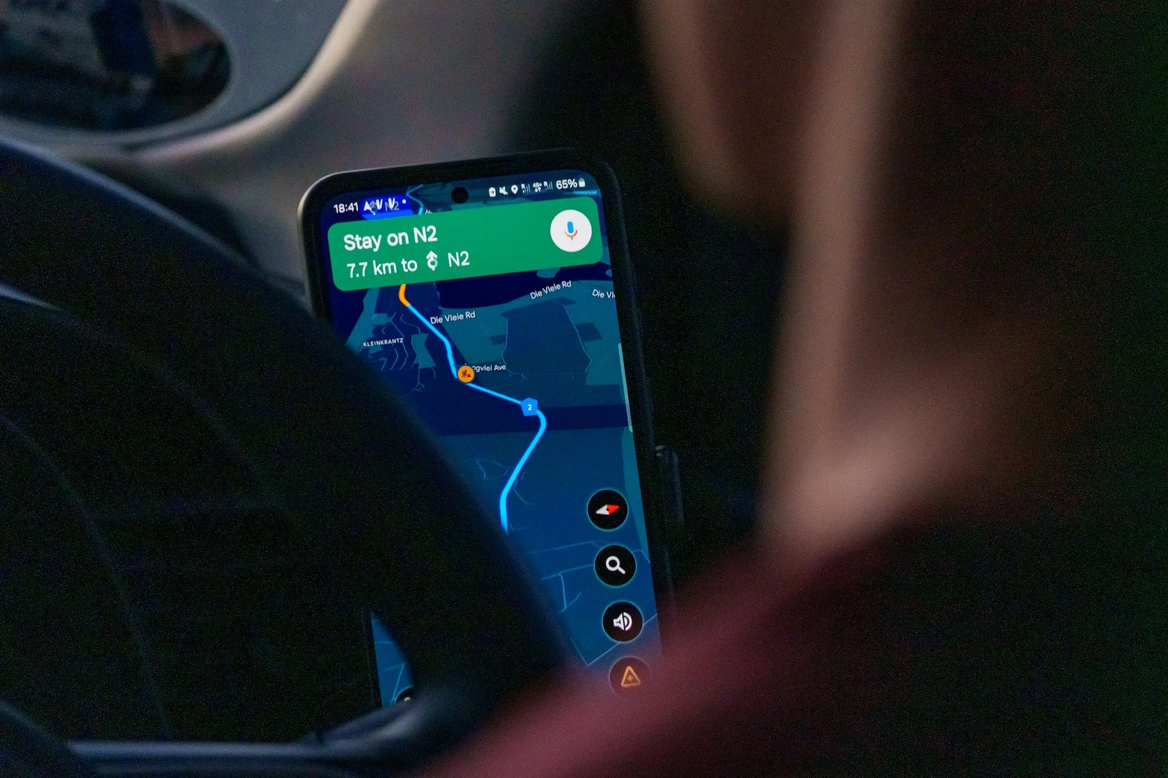
Best app for offline maps: five to download before you go

The best app for offline maps is the one you have already downloaded an area in, because an offline map only helps if you saved it before you lost signal. The choice between apps comes down to what you do offline: drive, walk, ride public transport or hike. They differ most on that.
This list is five apps, each checked on its own help pages or website, as of November 2026. Apps change, so check the current page before you rely on a feature. We make Travel Life, a trip planner. It works offline, but it is not a map app and is not on this list.
What offline really means
An offline map is a downloaded area of the map. Inside it, your phone can show where you are using GPS, which needs no signal. What varies is what else works:
- Directions. Some apps give turn-by-turn directions offline, some only for certain modes.
- Search. Searching for places inside the downloaded area may or may not work.
- Live information. Traffic, opening hours and transit times often need a connection.
- Area size. You choose an area, and bigger areas take more storage.
Always download before you leave, on Wi-Fi, and open the map in aeroplane mode to check. Our guide to using Google Maps offline walks through it, and travelling offline covers the rest.
Google Maps: the familiar one, with limits
Best at: offline driving directions in an app you already know.
Who it suits: people who use Google Maps at home and want the same app abroad.
As of November 2026, Google's help page says you download an offline map by searching for a place and using the More menu, or by choosing "Select your own map" in the Offline maps section of your profile. Navigation works offline within the downloaded area, as long as the entire route is inside it. Transit, bicycling and walking directions are unavailable offline, and driving offline does not show traffic or alternate routes. Some countries and regions do not support offline maps, and maps expire and need updating.
Worth knowing: check that your destination supports offline maps, and what the limits mean for how you travel.
Apple Maps: offline maps on iPhone
Best at: offline maps built into iPhone, for several ways of travelling.
Who it suits: iPhone users on iOS 17 or later.
As of November 2026, Apple's support page says offline maps need iOS 17 or later and are available only in selected areas. You search for a place and tap Download, drop a pin on an unmarked area, or use Offline Maps in the profile settings. Each map shows its file size first. It says place details such as opening hours and ratings, turn-by-turn directions for driving, walking, cycling and public transport, and arrival estimates work offline. Maps update automatically, and offline maps do not sync across your devices.
Worth knowing: it is for Apple devices, and offline maps are available only in selected areas, so check your destination first.
Organic Maps: free and private
Best at: simple, free offline maps and navigation.
Who it suits: travellers who want something light, ad-free and not tied to an account.
As of November 2026, Organic Maps' site calls it free and says that after downloading maps you can search for places, plan routes, record GPS tracks and navigate without an internet connection, with turn-by-turn voice guidance and CarPlay and Android Auto support. It says it has no ads and no tracking, and that no registration is required. It is open source and relies on donations, and it is on the App Store and Google Play.
Worth knowing: it is built for navigation on foot, by bike and by car, not for live transit information.
OsmAnd: detailed maps and many profiles
Best at: detailed offline maps with many ways to travel.
Who it suits: travellers who like to tweak things, and hikers, cyclists and boaters.
As of November 2026, OsmAnd's site says it offers fully offline maps of any region, with 3D terrain, points of interest and offline Wikipedia articles. Navigation works without a data connection with turn-by-turn voice guidance, rerouting and profiles for cars, bicycles, walking and boats, and it supports public transport navigation. There is a free version without ads, and apps on the App Store, Google Play and Huawei AppGallery, plus a web map.
Worth knowing: the page does not say which features need payment, so check what the free version covers.
Komoot: routes for walking and riding
Best at: planning hikes and rides and following them offline.
Who it suits: hikers and cyclists.
As of November 2026, komoot's site says it generates routes for hiking, road cycling and mountain biking, with turn-by-turn voice navigation, and that you can download routes and use them without phone reception. It is available on the App Store, Google Play and the web, and mentions a free account without detailing paid options.
Worth knowing: it is for outdoor routes, not for finding a restaurant in a city.
Before you rely on it
Test the download. Open the map in aeroplane mode and search for a place you will need, such as your accommodation, the station and a pharmacy. Zoom out to the edge of the area to see how far it reaches. If a street you will use is outside it, download a larger area. Offline maps also take space, so check how much storage you have, and remember that old downloads can expire, so refresh them a few days before you fly and not on the way to the airport.
Battery matters too. GPS use drains a phone, so carry a power bank and set the screen to dim while you walk.
A simple plan
Offline maps are part of a small setup, not the whole of it. One sensible combination is a map you know, such as Google Maps or Apple Maps, plus an offline-first app such as Organic Maps or OsmAnd as a backup. For the whole kit, see our round-up of offline travel apps and our guide to public transport in a new city.
How to choose
- Familiar, for driving: Google Maps.
- iPhone, with transit: Apple Maps.
- Free and simple: Organic Maps.
- Detailed, with options: OsmAnd.
- Hiking and cycling: komoot.
Next step
Pick the area you will need, download it on Wi-Fi tonight, then switch on aeroplane mode and look up your hotel. If you can find it, you are ready.